We all know the federal government does a population census every decade. But did you know it also counts trees?
The U.S. Forest Service inventories the types and condition of trees all across the country, and they’ve been doing it since the 1930s. Mark Majewsky, a supervisory forester at the Forest Service’s Northern Research Station in Minnesota, says they take stock of a random sample of trees based on a national grid. You can think of it kind of like a giant soccer ball laid over the top of the country, where each hexagon on the soccer ball represents 6,000 acres.
“We’ll put one sample in the center of each of those hexagons,” Majewsky says.
In the past, if a sample plot happened to fall within an urban area—which wasn’t technically a forest—they didn’t count it. But since 80 percent of Americans now live in or near cities, the Forest Service recently started keeping track of what’s happening with urban trees.
This year, Pittsburgh is one of a growing number of cities on their radar.
LISTEN: “Plotting Pittsburgh’s Urban Forests”
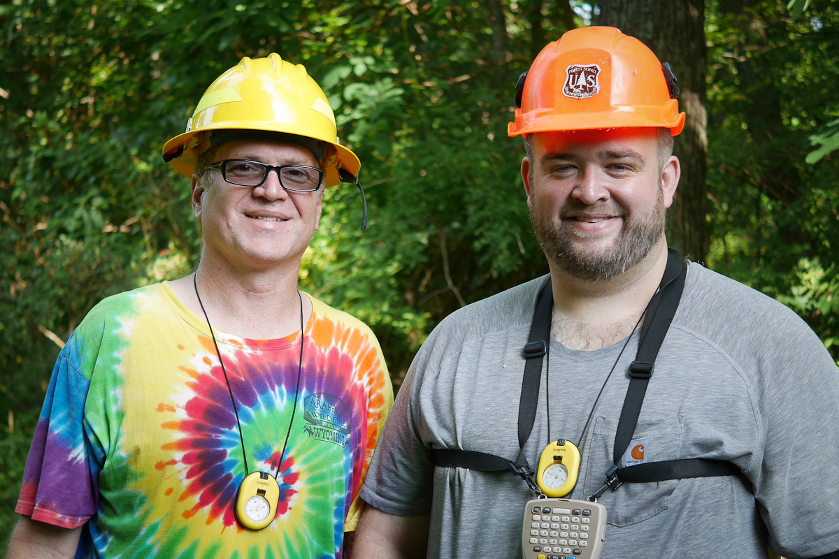
I met up with some foresters on a humid day in July near Hance Elementary School in Gibsonia, just north of Pittsburgh, as they were collecting data for the urban inventory.
The Forest Service’s Mike Whitehill meets me in the parking lot behind the school, then grabs my hand as we make our way down a steep slope where wooden steps have been swallowed by a grassy hillside. As we wade through waist-high wildflowers, our T-shirts are constantly catching on thorny, green stems.
“This is multiflora rose—a very bad invasive—and something that we’ll tally on this plot,” Whitehill says. It might be pretty when it’s blooming, but it can crowd out other plants and trees.
At the bottom of the hill, I meet his colleague, Mitch Pennabaker. The two of them have been here since early this morning, trying to beat the heat. Right now, they’re inspecting what’s happening under the tree canopy, low to the ground.
“We’re looking at seedlings and saplings,” Pennabaker says. “For our data, a seedling has to be over a foot tall if it’s a hardwood; six inches tall if it’s a softwood. And then a sapling is anything greater than an inch in diameter—but less than five inches—which is the cutoff for a tree.”
Whitehill beats back some more multiflora rose with a Jake staff so that he can see the little trees for the weeds. The tool looks like a shovel handle with a metal spear on one end. It’s exactly four feet long, so he can also use it as a measure.
“We have an ash,” he says. “Have you heard anything about the emerald ash borer?”
It’s another invasive pest—this one is a beetle that’s wiped out millions of ash trees.
“I’ve been measuring dead and dying ash in Pennsylvania for the last three years,” Whitehall says. “I don’t know that we know what’s going to happen with the seedlings—if the borer’s going to be around to kill them when they get big enough. But it is nice to see we still have some seedlings.”
As Whitehall shouts out his finds, Pennabaker enters the species into a data recorder hanging around his neck. They upload other kinds of information too—like if a tree is planted near electrical lines.
“We also code building data,” Pennabaker says. “Trees provide shade to buildings, which lowers cooling costs.”
When they finish with the saplings, it’s time to assess the bigger trees for things like height, width of their crown (that’s the leafy part of the tree) and if there is any disease or rot.
“This is our plot center,” Whitehill says. “So from this dowel, we’re going to measure any trees within 48 feet.” That’s maybe 10 to 15 trees today, which Whitehill says isn’t a lot. It’s been a different story on other urban plots.
“It seems like the city of Pittsburgh has a lot of areas that are too steep that didn’t get developed,” Whitehill says. “With a random sample of these plots, we actually have quite a few of those forested areas with a lot of trees for this urban study, and it’s a challenge.”
“I’ve been measuring dead and dying ash in Pennsylvania for the last three years. I don’t know that we know what’s going to happen with the seedlings—if the borer’s going to be around to kill them when they get big enough. But it is nice to see we still have some seedlings.”
For the last two years, he’s been working on the same urban study in Baltimore, where it’s flatter. But it still just takes them a few hours to finish up their data collection here between the school playground and some residential backyards.
Whitehill, Pennabaker and a handful of other foresters will keep on plotting this summer, but it will take seven years to collect all of the data on Pittsburgh’s 200 sample sites. Then they’ll start all over again.
“We just collect the data. What people use the data for—that’s up to them,” Pennabaker says.
Matt Erb, the Director of Urban Forestry at the nonprofit Tree Pittsburgh, is among those who hopes to use the data. He says they know from their own past studies that Pittsburgh’s 2.5 million trees provide a lot of economic benefits each year, including removing pollution from the air and slowing stormwater runoff into rivers.
“To raise funds to do these large analyses is a little bit difficult [for] an organization like ours,” Erb says. “And it’s not something we can repeat on a continual basis like the Forest Service can.”
Erb says yearly data collected by the Forest Service’s Urban FIA Program is a relief. Tree Pittsburgh can focus some of their efforts elsewhere, and still get information about what’s happening to Pittsburgh’s trees over time.
Erb says Pittsburgh’s trees face many of the same challenges as other urban areas. Invasive species and climate change top the list. He says Pittsburghers also enjoy scenic views from the city’s hilltops, but clearing trees off of slopes can lead to soil erosion and even landslides.
###
You can check out the U.S. Forest Service’s Forest Inventory and Analysis (FIA) Program data at their website.
