

This story is part of our series, Wild Pennsylvania. Check out all of the other stories in the series here.
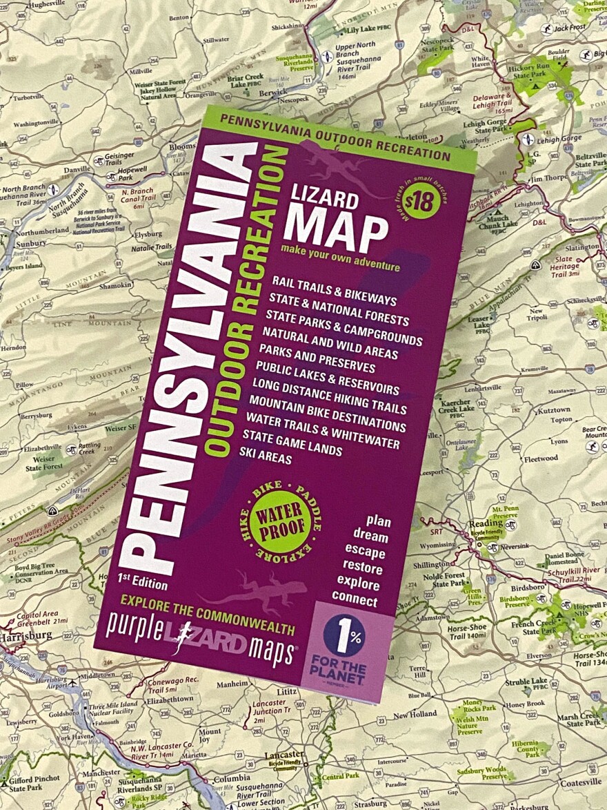
A new map from a State College-based company features the hundreds of state parks, forests, rail trails and whitewater destinations across Pennsylvania, with a goal of helping people discover the great outdoors.
Listen to Mike Hermann of Purple Lizard discuss the map with Anne Danahy:
Mike Hermann, founder of Purple Lizard Maps, said the inspiration for the new map came from those forests, public lands and hiking trails.
“We could never find a decent map that actually showed all of that,” Hermann said. “We knew that was out there. Like a lot of our maps, it was a map that we wanted to make. It was a map that we felt could really showcase some of the amazing outdoor recreation opportunities that Pennsylvania holds.”
Hermann said the statewide map was more than three years in the making. And there were some surprises.
“We had no idea there were that many rail trails,” he said.
Hermann says there’s still a demand for maps even in a time of online apps and GPS.

“We get so many lovely emails from people saying, ‘Gosh, I’ve used apps for years. And then I found your map and I see everything that I’m missing,’” he said.
The project received support from the Pennsylvania Environmental Council and the Pennsylvania Parks and Forests Foundation.
